Endangered Data, Zachary Norman (2017)
Following the 2016 election scientists, librarians and laypeople began to backup or “mirror” publicly available government datasets from institutions such as the EPA, NOAA, NASA and others onto private servers and personal computers. This was done in response to a growing concern that this data, much of which affirms the reality of human induced global warming, might be subject to manipulation and/or erasure by an administration whose relationship with the scientific community, especially as it pertains to global warming, has been dismissive and even combative. In this project I have attempted to visualize this data and its sobering implications. I have also presented a method that could be used to transmit such information surreptitiously if necessary using a crytptographic method known as steganography. And, perhaps most importantly, the sheer impetus for this project demonstrates the vulnerability, perceived or otherwise, of such data to repression or erasure.
The images in the books here owe their appearance to steganography, a cryptographic method used to store or hide information within the pixels of digital images. Put simply, I selected a small subset of data files from a much larger dataset and stored that information within the pixels of selected images. The larger dataset is known as the the Carbon Dioxide Information Analysis Center FTP Archive - the CDIAC contains selected data sets relevant to studies of greenhouse gases and global warming. The data I’ve chosen for this series were collected at five globally distributed measurement stations. The five station locations are: Ragged Point Barbados (13.17°N, 59.43°W), Trinidad Head, California (41.05°N, 124.15°W), Mace Head, Ireland (53.33°N, 9.9°W), Cape Matatula, Samoa (14.23°S, 170.56°W), and Cape Grim, Tasmania (40.68°S, 144.69°E). These stations measure quantities of greenhouse gas species in the Earth’s atmosphere including, but not limited to: Methane, Nitrous Oxide, CFC-12, Methyl Chloroform, Carbon Tetrachloride and Carbon Monoxide. There are six books in this series, one for each station and a small text companion containing relevant README files, citations and an ASCII conversion table.
The base image in each book is a photograph of or near the respective measurement station. Within the pixels of that image I have stored a year’s worth of measurement data from the respective station. The data was collected between the years 1993 and 2016 so each image represents a single year’s worth of measurement data. As the average amount of Methane in the atmosphere increases each year the number of pixels used to store data also increases, proportionate to the increase in methane, therefore the images become increasingly discolored as one flips through the book. These discolorations owe their appearance to the steganography script used to store the data. The script dictates that each character in a particular data file should be stored in a correspondent pixel in a given image. The ASCII value of that character is converted to a decimal value and this value shifts the color of the correspondent pixel by that amount. For example, if a pixel has a red channel value of 100 and its correspondent data file character is the letter “R” then the pixel will shift by 82 bits changing its red channel RGB value from 100 to 180, as the ASCII character “R” has a decimal value of 082.
The color shifts that occur in each book as the amount of methane in the atmosphere rises become increasingly suggestive of the catastrophic outcomes implied by the data.
This series of books is part of an ongoing project that explores the storage, transmission and visualization of data vulnerable to repression, manipulation or erasure.

Endangered Data Box Set
Includes all five books in series: Barbados, California, Ireland, Samoa, Tasmania + README.
8.5 x 11 inches (215.9 x 279.4 mm) books & 5.5 x 8.5 inches (139.7 x 215.9 mm) books
Saddle-Stitched
Color & B/W
Digital Offset on Recylced Paper
Personalized Letter
Artist Statement
Document Mailing Box
2017
Currently unavailable
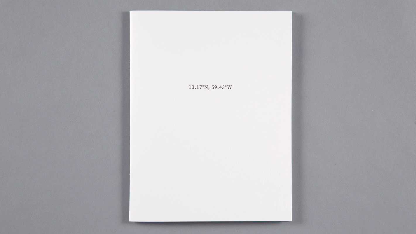
13.17°N, 59.43°W; Ragged Point, Barbados
8.5 x 11 inches (215.9 x 279.4 mm)
Saddle-Stitched
Color
Digital Offset on Recylced Paper
28 Pages
2 Editions of 20
2017
Currently unavailable

13.17°N, 59.43°W; Ragged Point, Barbados
Measurement data from Ragged Point, Barbados (13.17°N, 59.43°W) measurement station encrypted into image of location. Increase in pixels used to store data proportionate to increase of Methane (CH4) in atmosphere between 1996 and 2016. Data can be viewed here.
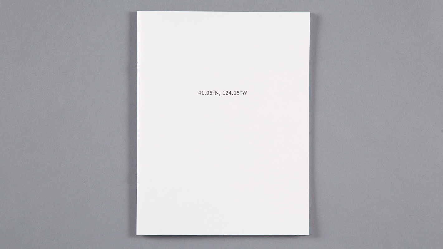
41.05°N, 124.15°W; Trinidad Head, California
8.5 x 11 inches (215.9 x 279.4 mm)
Saddle-Stitched
Color
Digital Offset on Recylced Paper
28 Pages
2 Editions of 20
2017
Currently unavailable

Measurement data from Trinidad Head, California (41.05°N, 124.15°W) measurement station encrypted into image of location. Increase in pixels used to store data proportionate to increase of Methane (CH4) in atmosphere between 1995 and 2016. Data can be viewed here.
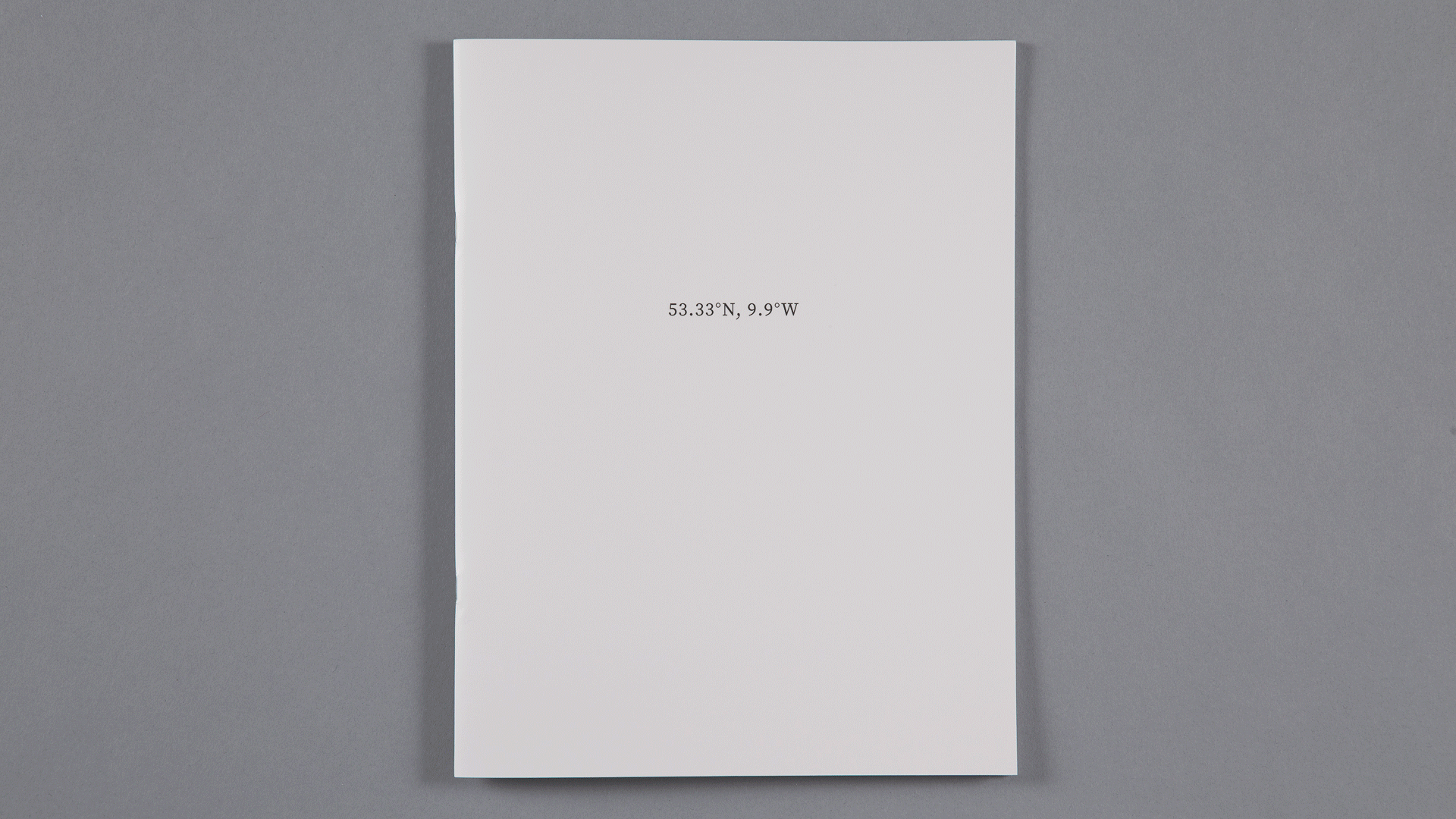
53.33°N, 9.9°W; Mace Head, Ireland
8.5 x 11 inches (215.9 x 279.4 mm)
Saddle-Stitched
Color
Digital Offset on Recylced Paper
32 Pages
2 Editions of 20
2017
Currently unavailable

Measurement data from Mace Head, Ireland (53.33°N, 9.9°W) measurement station encrypted into image of location. Increase in pixels used to store data proportionate to increase of Methane (CH4) in atmosphere between 1994 and 2016. Data can be viewed here.
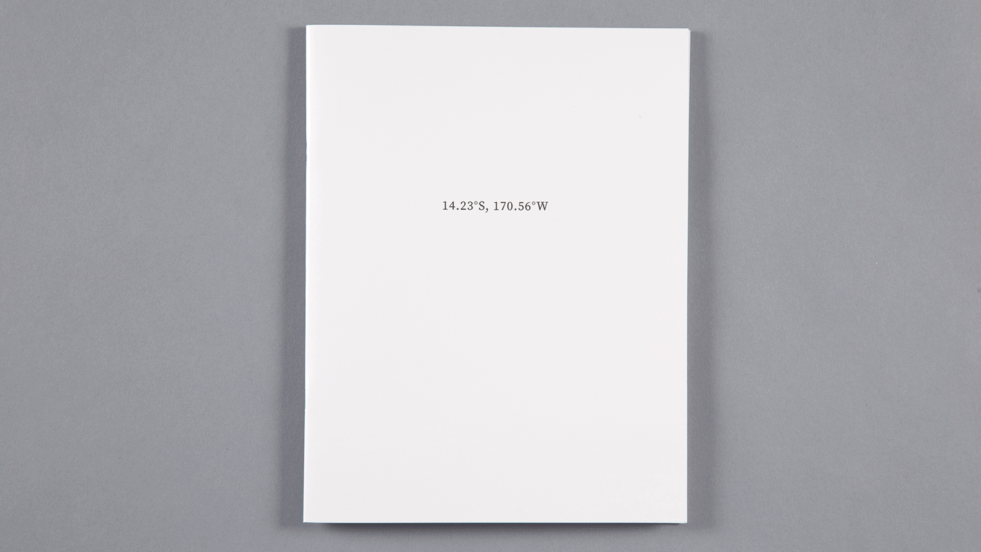
14.23°S, 170.56°W; Cape Matatula, Samoa
8.5 x 11 inches (215.9 x 279.4 mm)
Saddle-Stitched
Color
Digital Offset on Recylced Paper
28 Pages
2 Editions of 20
2017
Currently unavailable

Measurement data from Cape Matatula, Samoa (14.23°S, 170.56°W) measurement station encrypted into image of location. Increase in pixels used to store data proportionate to increase of Methane (CH4) in atmosphere between 1996 and 2016. Data can be viewed here.
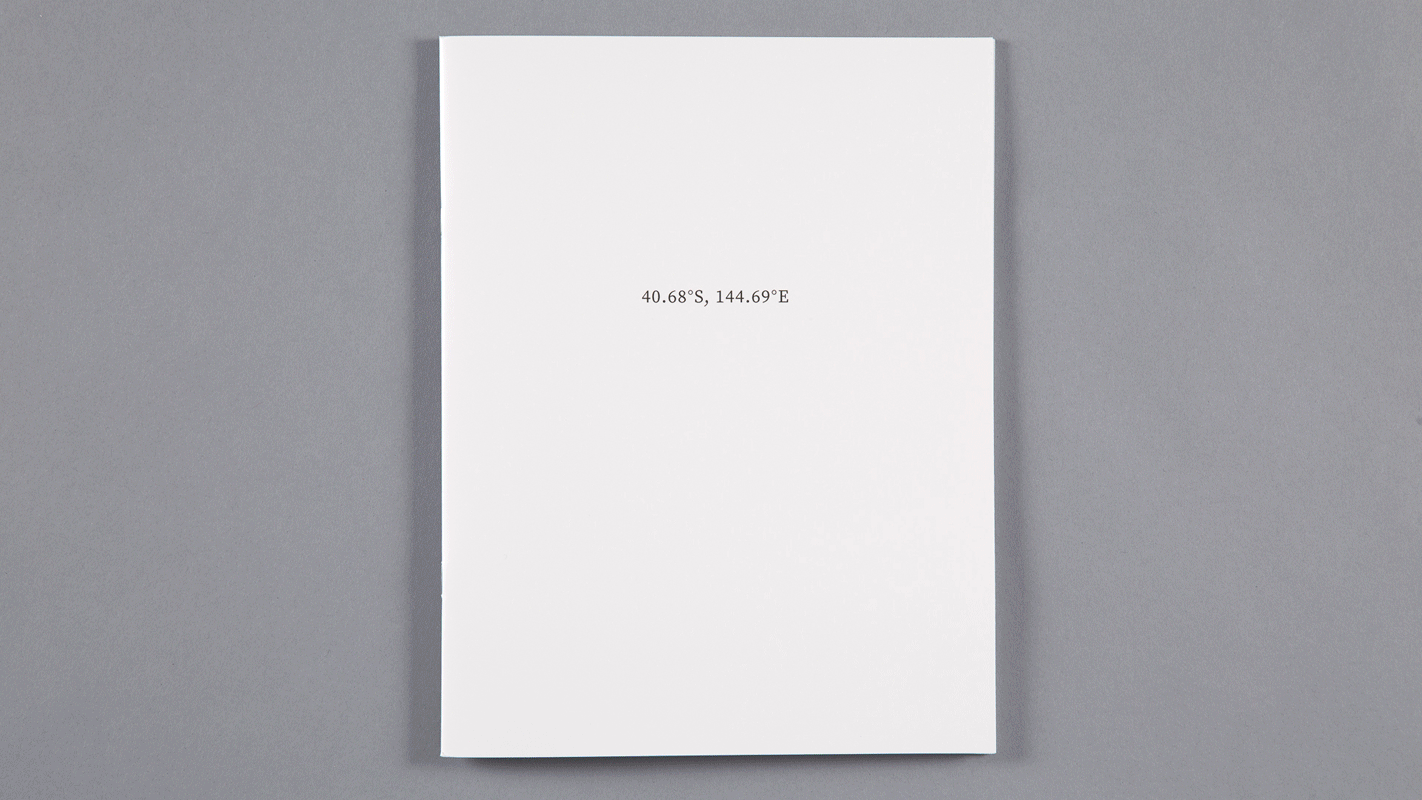
40.68°S, 144.69°E; Cape Grim, Tasmania
8.5 x 11 inches (215.9 x 279.4 mm)
Saddle-Stitched
Color
Digital Offset on Recylced Paper
32 Pages
2 Editions of 20
2017
Currently unavailable

Measurement data from Cape Grim, Tasmania (40.68°S, 144.69°E) measurement station encrypted into image of location. Increase in pixels used to store data proportionate to increase of Methane (CH4) in atmosphere between 1996 and 2016. Data can be viewed here.
README
Text companion included with each book. Contains relevant README files, citations and an ASCII conversion table. Original README files can be found here and here.
5.5 x 8.5 inches (139.7 x 215.9 mm)
Saddle-Stitched
B/W
Digital Offset on Recylced Paper
40 Pages
2 Editions of 100
2017
NFS individually; included as a companion with each book.