Imagined Geographies (2018 – Present)
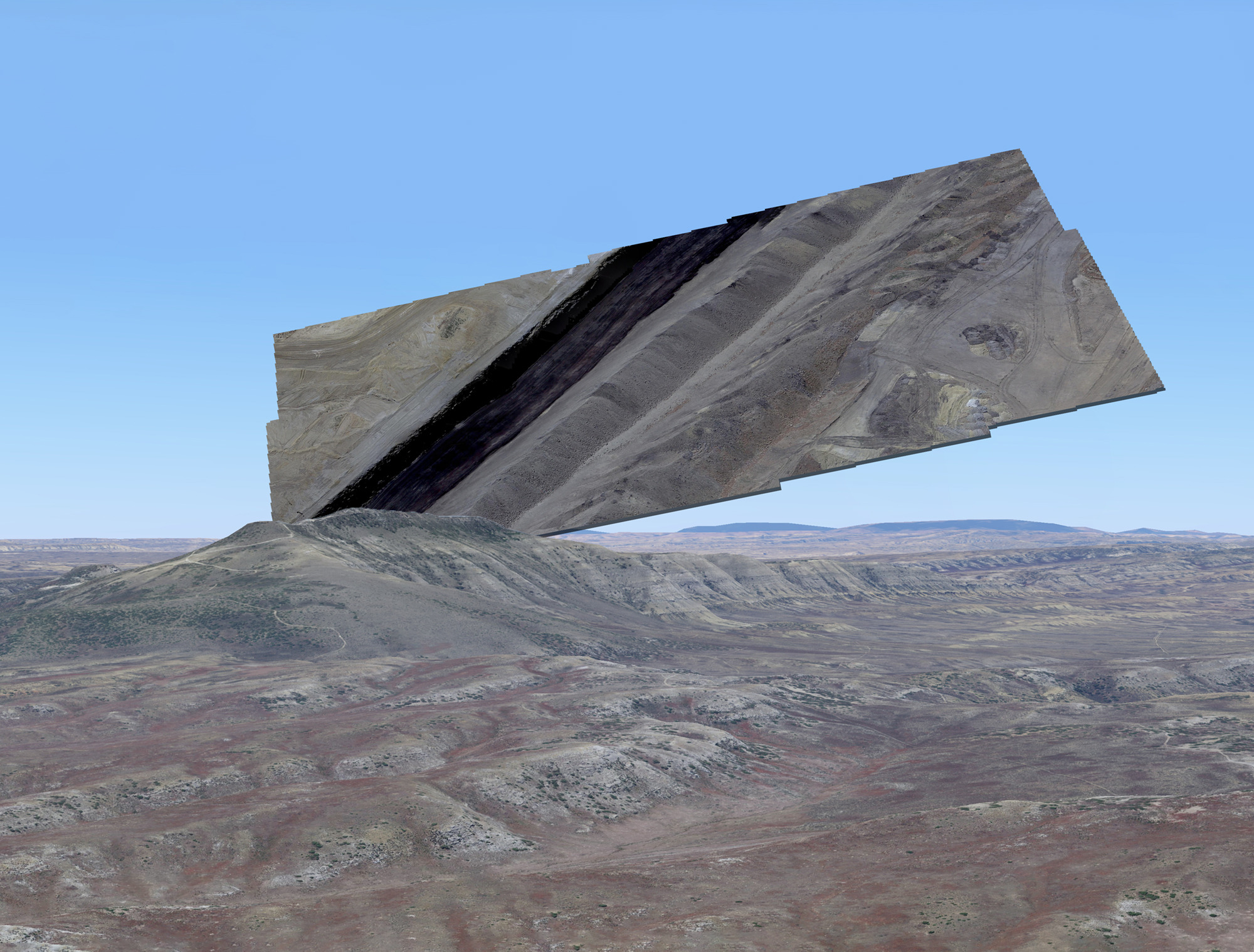
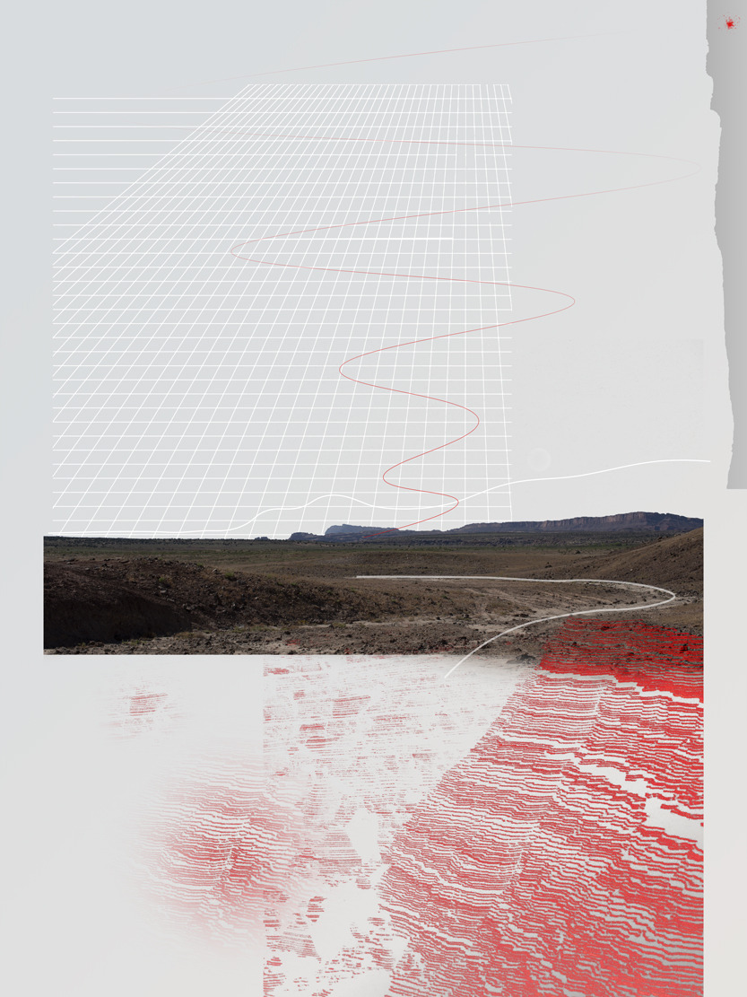
The American West is a duplicitous landscape. Its abundant natural beauty is a sight to be seen, and to see it can be transcendent, reverential, exhilarating, or even redemptive. Visuality is at the center of the American conception of nature, and the way the landscape appears shapes our attitudes and beliefs about the natural world. A great deal of the West looks vast, pristine, and uninterrupted, but this image is often a façade, a smokescreen concealing the underlying truth of material conditions in a landscape that is rich in natural resources and capitalist potential. This exhibition explores the concrete ways that the landscape of the American West is produced and maintained as image, and considers the larger implications of our visual epistemology for diverse ecologies, the climate, and the future.
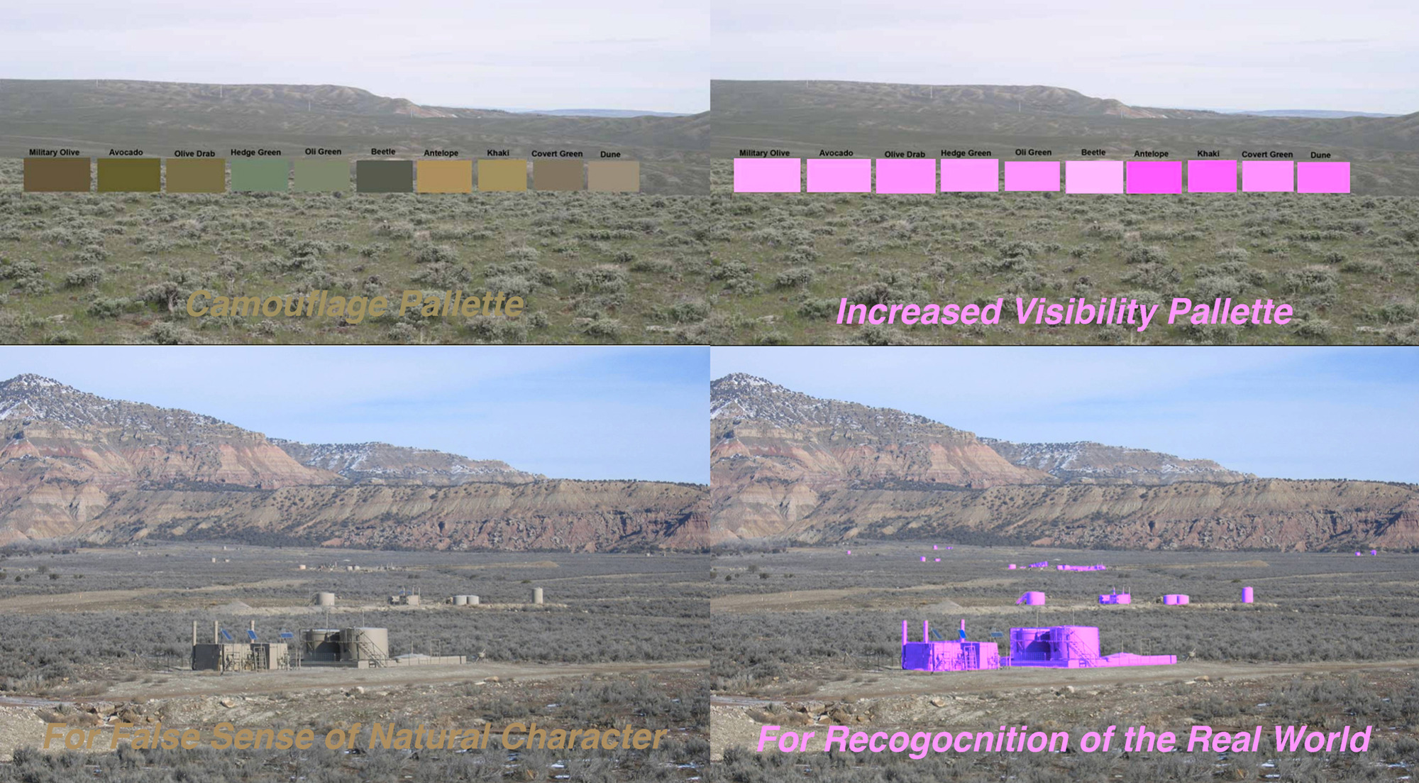
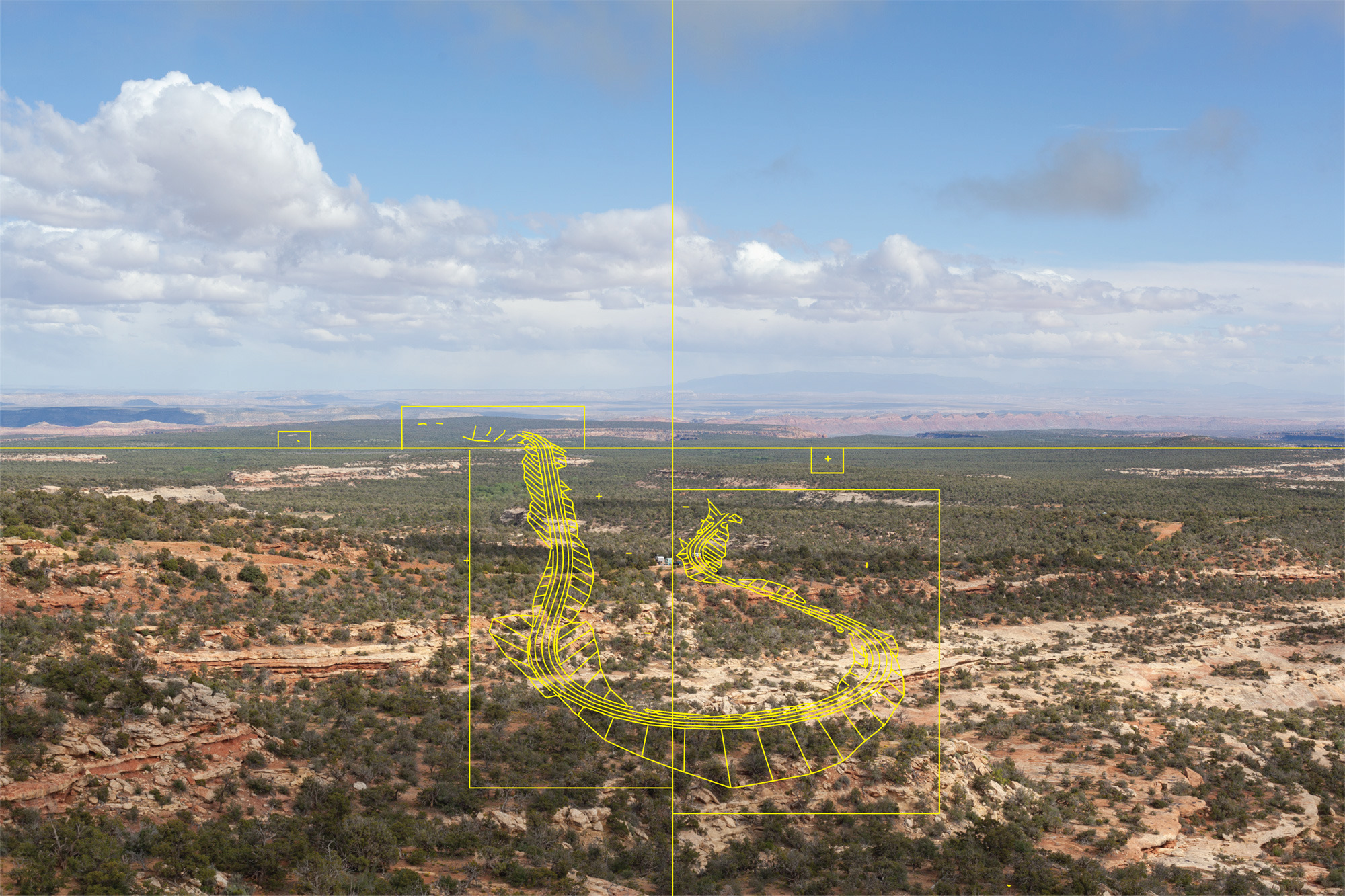
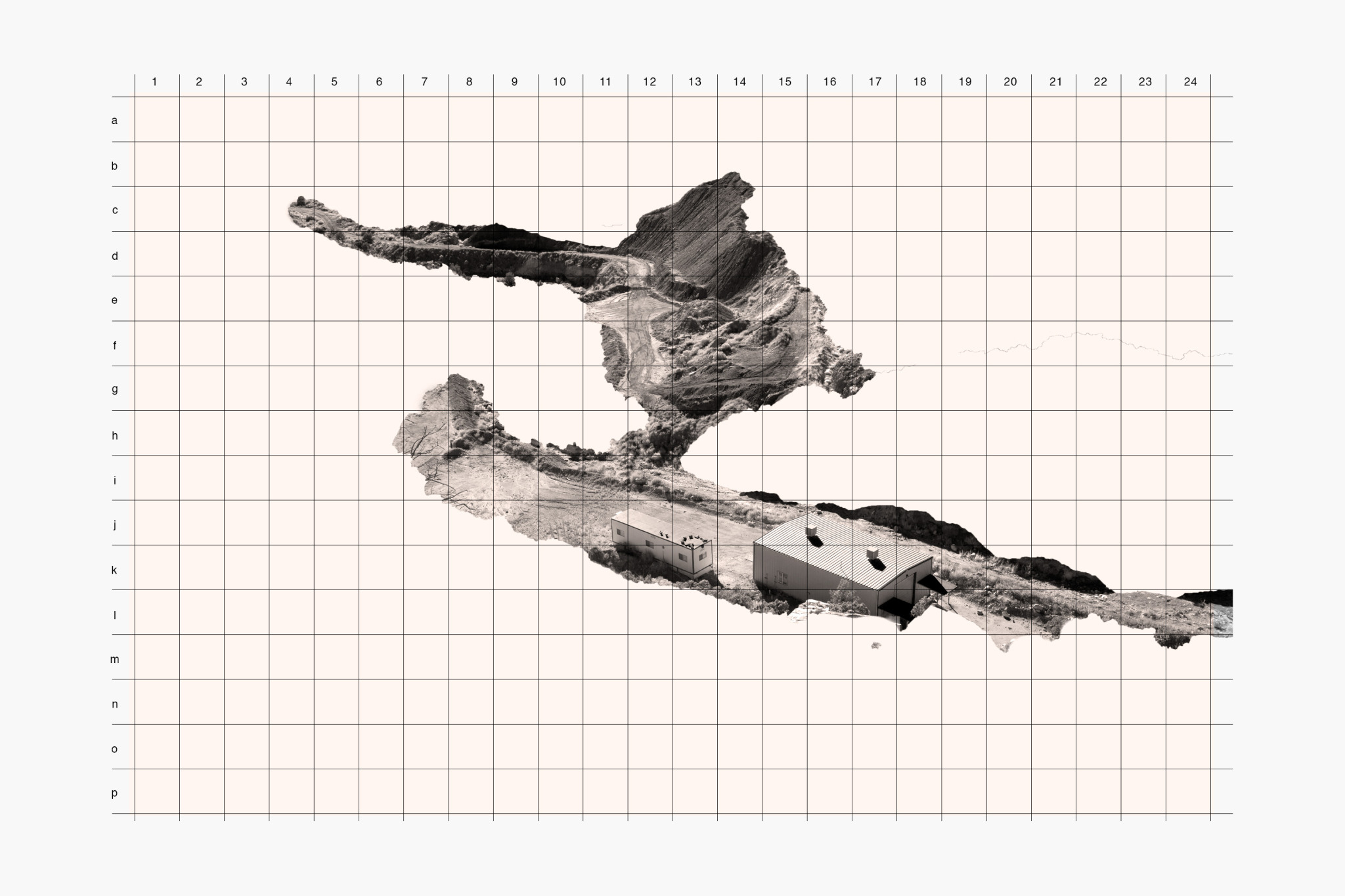
From the highway, the scenic overlook, or the trail you might notice service roads snaking with the contour of the land and dipping out of sight at the first opportunity, water tanks wearing military camouflage, or the skeletal tops of power lines just noticeable behind the ridge. This belies the fact that there is a uranium mine beyond the butte, a potash operation carpeting the canyon floor, or 400 pump jacks trailing 15 miles of juniper flats. None of this is by accident. The place you are standing is known as a Key Observation Point (KOP), and the landscape you are viewing has been divided, inventoried, rated, simulated, scored, and managed for its visual value. Your perception of this landscape is likewise being managed, and, by design, you have not noticed.
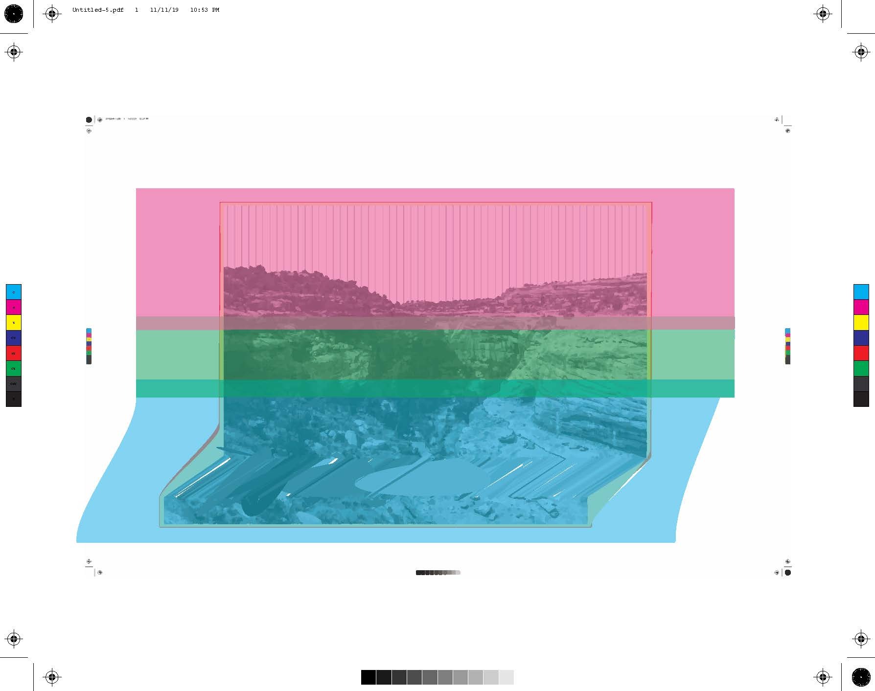
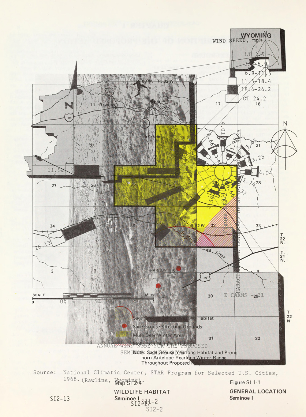
Over the past two years Everything is Collective has made experimental works in response to how the Bureau of Land Management (BLM) uses visuality, photography, and images as a crucial part of the policies and systems that dictate the ways the nation's public lands and natural resources are understood, apportioned, conserved, and exploited. Specifically, this project investigates a little known but highly significant land management policy called the Visual Resource Management System. The Visual Resource Management System (VRM) is used by the BLM to determine the “scenic or visual” values of America’s public lands.
This modular exhibition includes works in photography, photorealistic CGI, appropriation, and video that subvert the guidance, protocols, and imagery presented by the VRM system. Our goal is to make new visual works that challenge accepted conceptions of nature, conventional landscape epistemologies, anthropocentric viewpoints, land use interpretation, and capitalist values as they relate to the western landscape.